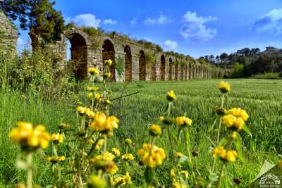
Laertes was founded on the Taurus Mountains, on the southern foothills of Mount Cebel-i Reis, rising at the mouth of the Dim Valley, at an altitude of 850 meters above sea level, in a geography suitable for defence. It is approximately 25 kilometers away from Alanya. The nearest village is Gözü Küçüklü. It is within the borders of the region known as Rough Cilicia in ancient times. While talking about Laertes, Strabon describes the city as having a harbor and being built on a chest-shaped hill.
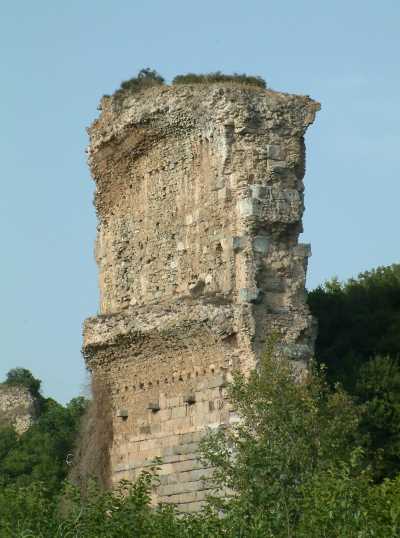
Important ruins of the city that have survived to the present day; agora, exedra, baths, cisterns, theatre, houses and temples of Emperor Claudius, Apollo and Zeus Megistos. The absence of ruins from the Hellenistic period in the city is attributed to the fact that the region was under the control of pirates at that time and therefore the reconstruction activities were not carried out sufficiently.

The stone inscription found in Laertes, which dates back to the 6th century BC and dates back to the 6th century BC, is exhibited in the Alanya Museum. The inscription deals with the servant of the provincial governor and the problems in the concept of property. The necropolis of the city is in the south. Many ostotech fragments and the pedestals on which the ostotechs stand can be seen in the necropolis area.
Source: “Laertes”, Antalya from Past to Today [II. Volume], Antalya Provincial Directorate of Culture and Tourism (2012)
Places to Visit in Antalya
Source: Antalya Provincial Culture and Tourism Directorate