Patara Special Environmental Protection Area; It consists of Fethiye and Kaş districts of Muğla and Antalya provinces and 5 towns and 4 villages connected to them. Patara is an ancient city dating back to the Lycian Civilization period, located within the borders of Gelemis Village in Kaş District of Antalya Province. Administratively, a large part of the Patara Special Environmental Region is located within the borders of Antalya-Kaş District, and the other part is within the borders of Muğla-Fethiye District.
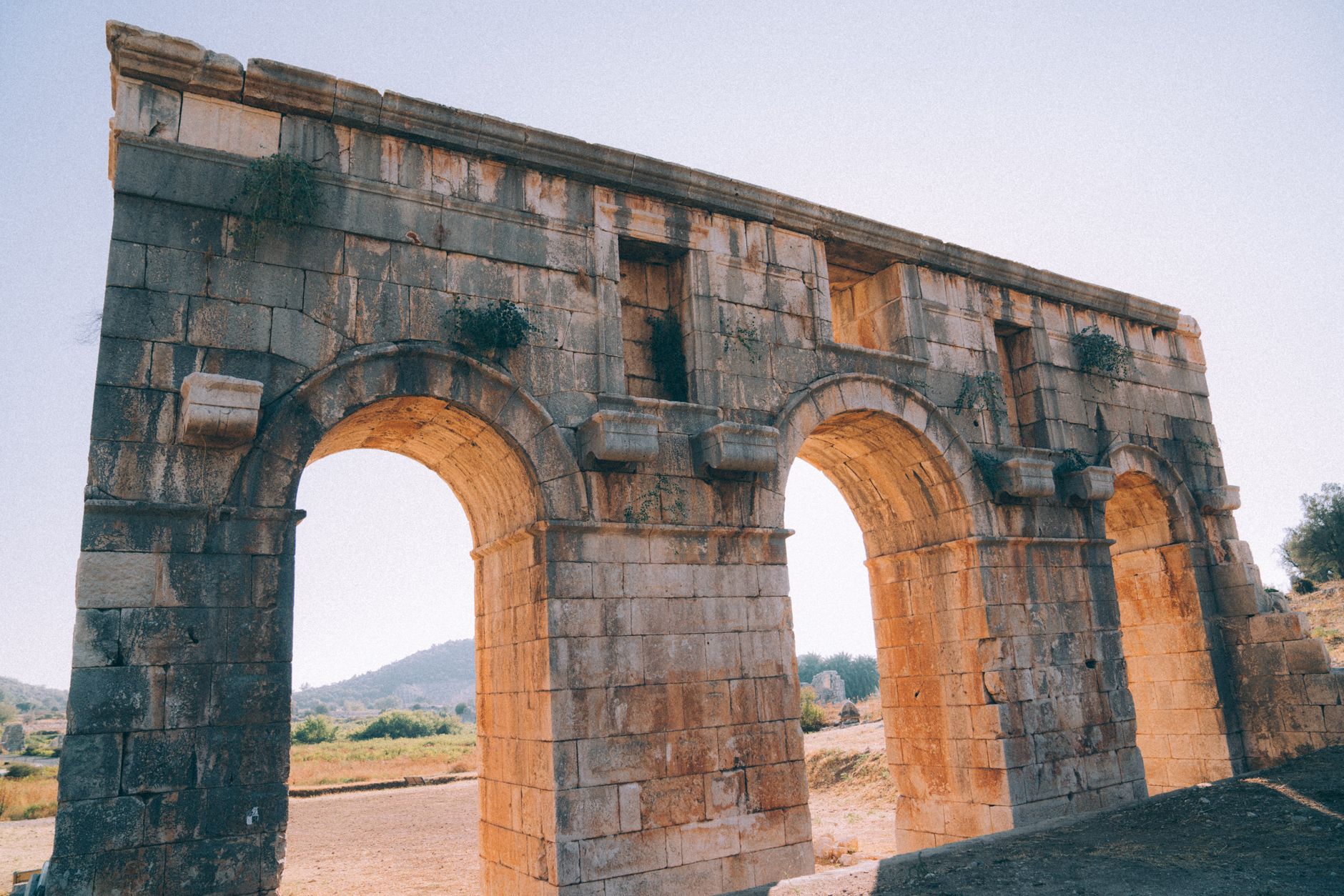
According to archaeological research carried out in the region, Patara, one of the oldest cities of the Lycian Civilization, was founded in B.C. It was the main port of the period in the 9th century and was founded throughout history on a triangular-shaped plain to the west of Kalkan Erendağı.
The Mediterranean climate prevails in the region, with hot and dry summers and warm and rainy winters. The average annual temperature is 18.9 0C and the average rainfall is 906.4 mm. is around. The region is located in the southern lower parts of the Eşen Stream Basin. It is surrounded by low-elevation mountains, divided into two by the Eşen Stream, divided by active faults, generally composed of limestone and ophiolites, formed in the Jurassic-Cretaceous period.
The middle parts of this area, covered with thick alluviums with a smooth topography, have a wetland-swamp character because the groundwater level is at or very close to the surface, and in this area there is a very shallow Gemiş Lake (Ova Lake), which dries up in summers.
The economy of the region is generally based on agriculture, but tourism has started to develop in recent years. Local people migrate to the plateau in summer. Agriculture has begun to be practiced with modern methods around Ova Lake, greenhouse cultivation is common and fruit and vegetables are produced in early season.
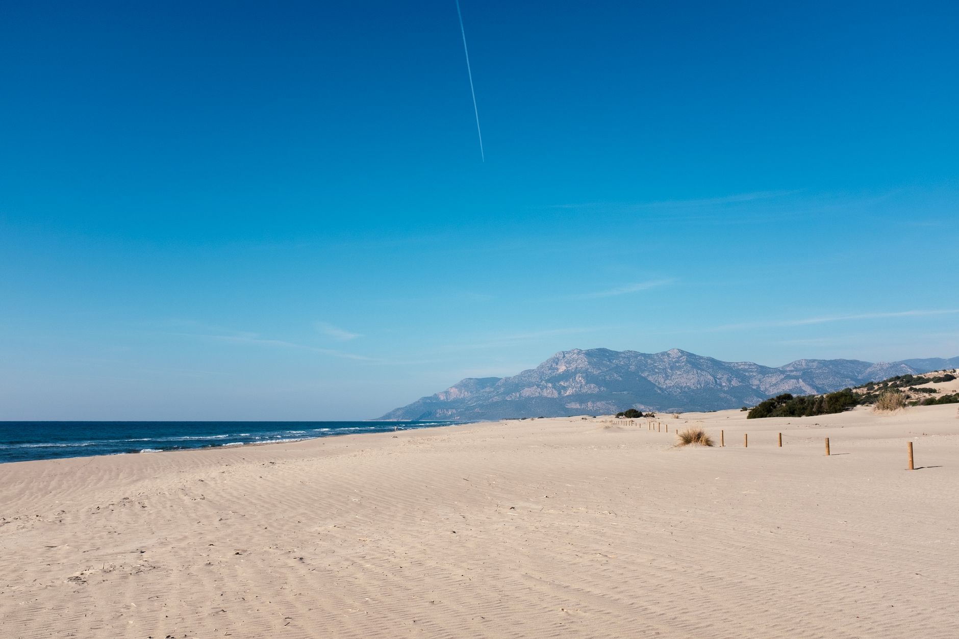
The area where Eşen Stream flows into the sea is a 500 m long, 18 km east-west extending area, which determines the most important natural structure of the region, as a result of the processing of the alluviums carried by Eşen Stream by marine currents and winds. wide, magnificent Patara Beach was formed. In this region, sometimes strong winds blowing from the sea to the land cause the beach to move towards the land, causing sandstorms and migration.
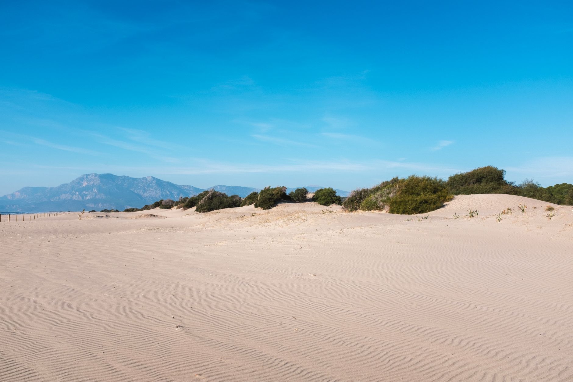
For this reason, there are widely spread and moving dunes on the beach. At Patara Beach, 7 km eastwards from the mouth of Eşen Stream. Average length of 25 m. wide wet strip consists of very fine sized clean sands. This area is the first degree spawning area of Caretta caretta and Chelonia mydas Mediterranean turtles.
According to the results of the “Sea Turtle Research Project” carried out in this area in cooperation with the Special Environmental Protection Agency and Dokuz Eylül University in 1992, the frequency of turtle nests was determined to be between 2-19 nests/km.
In the region, there are generally saline herbaceous plants in the sandy areas close to the coast. Laurel (Laurus nobilis), Cut Maple (Phillyrea media) and Fig (Arbatus uneoda) plants are found in the central parts of the coastal region. As you move away from the coast, there are shinny, leafy, hard oily textured, hairy, small and thorny maquis type plants specific to the Mediterranean climate type. Maquis species called “garig” are common in this area.
Some of these species include tar juniper, myrtle acacia, arbutus, wild olive (weed) and some shrub plants.
The Special Environmental Protection Agency carries out research, planning and project-implementation activities in coordination with relevant institutions, organizations and universities in order to protect the ecological and archaeological values of the region, improve and recover the damaged values.
You May Like

Aspendos Ancient Theater Travel Guide