Our main goal is to introduce our beautiful district Nallıhan, which is home to the loyal, noble, hardworking and loyal people of our country, in every aspect. The district of Nallıhan makes significant contributions to the country’s economy with its underground and aboveground resources. With Çayırhan Thermal Power Plant, Sarıyar Hasan Polatkan Dam, Gökçekaya Dam, Yenice Dam, there is a significant energy contribution to the country’s economy.
The coal reserve of Çayırhan coal plant is 400 million tons and 1.6 million tons is used to produce energy in Çayırhan Thermal Power Plant every year. The district of ÇAYIRHAN is an important fruit growing and livestock warehouse.
However, it cannot get enough share from the general budget in direct proportion to its contribution to the country’s economy. According to the Socio-Economic Development Ranking of the Districts made by the State Planning Organization in 1996, Nallıhan district is the 214th among 858 districts and the 10th among Ankara Provincial Districts.
According to the study conducted by the SPO in 2003, it ranks 202nd among 872 districts. This situation is not encouraging at all. The noble and hardworking people of Nallıhan, who are affiliated with the State, are not worthy of this situation. In terms of the development of Nallıhan district, it is vital to realize the following issues urgently.
Nallıhan State Hospital was opened in July 2007 and provides both outpatient and inpatient treatment services as of this date.
These are;
Completion of Ankara-Istanbul high-speed train project as soon as possible,
Establishment of a feed factory, integrated fruit juice, tomato paste factory, cheese factory in order to improve fruit growing and animal husbandry in the district,
Ayman Kırı Irrigation Project is included in the Investment Program by the State Planning Organization, the Plain is opened to irrigated agriculture by the State Hydraulic Works and as a result, the production potential is increased,
Improving the connection roads of the district with Bolu, Eskişehir and Ankara in terms of marketing the products produced,
The opening of a handicraft school in order to introduce the world-famous Nallıhan lace, Beydili and Çamalan village hand woven products and water barrels made of pine trees in Döğmeci village, to provide income and to place this sector on a scientific base,
Establishment of a district ethnography museum in order to encourage our handicrafts and transfer them to future generations,
50 villages of Nallıhan district are suitable for the development of highland tourism due to their location. Sample villages (Aksu, Aydoğmuş, Beydili, Döğmeci, Demirköy, Cendere, Çive, Meyilhacılar, Tekke, Uluköy) should be selected with the pilot project application and the first step should be taken in these villages.
In order to develop highland tourism in these villages, family boarding houses should be restored and highland houses should be established. Concrete steps have been taken by taking active initiatives before the Ministry of Culture and Tourism, especially Nallıhan District Governorship, Nallıhan Municipality, Nallıhan Foundation Presidency, Nallıhan Energy Production Inc. Consortium, Park Holding, Nallıhan businessman İlhan Çetinkaya.
Local dishes specific to Nallıhan ( Nallıhan closing pilaf, Nallıhan gorçan kebab prepared from the lean parts of sheep and goat meat, stuffed leaves, pancakes, zucchini-walnut-onion-cheese buns made in village bakeries, höşmelim, zucchini dessert, hosaf) should be served to our guests coming to our plateaus and the promotion of Nallıhan District cuisine should be ensured.
Geographical Structure
Nallıhan, which is in the west of Ankara and has a very rugged land structure, is surrounded by Beypazarı from the East, Göynük from the Northwest, Mudurnu-Seben from the North, Sarıcakaya from the West, Eskişehir and Mihalıçcık from the South. The district, which is 159 km away from the city center, is surrounded by mountains and hills on all sides and the district was established on the edge of the river named after itself.
The district, which has an area of 1967 km² and an altitude of 625 meters above sea level, has Andız Mountains to the west, Sarıçalı Mountains to the north, Karageriş Mountains to the east and Sündiken Mountains to the south. 48% of the district land consists of forest, 25% of agriculture, 22% of meadow and pasture and 5% of shrubland. Its mountains are covered with pine and oak forests, and the forest cover is dense in the north and west direction, and generally bare in the east and south direction.
Among these mountains and hills, there are steep valleys, irrigated agricultural areas along the streams and lands suitable for agriculture on the plains of the hills, and the lands adjacent to Çayırhan and Beypazarı are partially flat areas.
Since the district land is generally inclined towards the south, streams and streams flow into the Sakarya River, which passes through the South and is the largest river in the region. Pınarbaşı, Sofulu and Nallıhan Streams, which take their source from the lands of the district, constitute the main rivers of the region.
The climate of the district shows the climate characteristics of Central Anatolia and Western Black Sea Regions. While the spring, autumn and winter months are generally rainy, there is not much rainfall in the summer. In the district where the winter months are not very cold, a milder climate type is seen in the Sakarya River Valley, whose altitude decreases to 200-250 meters.
Ankara-Nallıhan-Çayırhan Fight Against Erosion Training Studies
With the Convention on Biological Diversity and the Convention on Combating Desertification, which are accepted by the countries of the world and to which our country is a party due to the global dimension of environmental problems at the United Nations Conference on Environment and Development, the parties have entered into a commitment to leave a healthy environment for future generations.
It is the responsibility of our country at the international level to protect our values in terms of biological diversity together with biotic and abiotic elements, to ensure their sustainable use, to rehabilitate degraded or damaged areas and to improve the socio-economic structure of the local people. (Article 8 (f) of the Convention on Biological Diversity, Articles 1(b) and 2 of the Convention to Combat Desertification).
The fulfillment of these responsibilities depends on the development of the capacity of the Ministry of Environment, especially in terms of data collection, evaluation and developing measures based on these results, raising public awareness and ensuring cooperation between the relevant institutions.
In this context, the prevention of erosion and land degradation in the Ankara/Nallıhan/Çayırhan region, the rehabilitation of damaged areas are necessary both to contribute to the improvement of the living standards of the people in the region and to the protection of natural assets of global importance.
The Mayor of Çayırhan, Nallıhan District, Ankara Province visited the Ministry of Environment within this framework and stated that their region is an area exposed to erosion and requested a due diligence and on-site inspection. In this context, a team consisting of experts from the Anti-Desertification and Erosion Branch Directorate conducted an examination at the site to determine the current situation of the region.
With the pilot project, in line with the main objective of preventing land degradation and rehabilitation of degraded areas,
*
To support the establishment of associations to develop awareness and awareness by providing access to relevant information to the public and to contribute to the increase of this awareness, *
Building capacity in the region’s efforts to combat desertification and mitigate its effects, *
To determine the benefits that the local people can benefit from within the scope of sustainable use principles by investigating the ecosystem functions, *
To cooperate with all Ministries and organizations related to the subject.
In order to be successful in the fight against desertification and drought that may occur as a result of the transportation of soils through erosion, it is a globally accepted fact that people who are affected by this problem in the first degree are in the struggle today. It can already be said that a struggle in which the affected people are not present will fail.
For this, the necessity of ensuring the participation of the public within the framework of the fight against desertification has come to the fore. First of all, the technical facilities and capacities of the Institutions, Organizations, Universities and Volunteer Organizations to work in the project should be improved, the training and capacities of technical experts should be strengthened. Informing and informing the local people affected by desertification and drought, especially women and children, by technical experts
People living in the region will understand that the place they live in is constantly changing and the change is against them, and they will realize that they are the most important element in turning this change in their favor. This will ensure the active participation of the public in the fight against desertification and drought in that region.
More importantly, it will directly contribute to the solution of the problem by ensuring the continuity of this struggle. The project will set an example in nearby regions with similar characteristics and will change people’s perspective on the event. In other words, the public will undertake the task of raising self-awareness.
In this context, considering the development of awareness and sensitivity of the local people in the fight against erosion and desertification, a video training workshop was given to all primary and high school students by the experts of our Ministry in Ankara/Nallıhan/Çayırhan town on 20-22-23/03/2001. In addition, the drama “Let’s Protect Our Nature”, in which school students took part, was also exhibited within the scope of the same educational activity.
Likewise, the same program was repeated to the students’ parents on 28/03/2001, based on raising public awareness, which is one of the most important links in the fight against erosion and desertification.
As a complement to this training activity, saplings will be planted under the name of “Applied Tree Planting Festival” on 03.04.2001 in areas exposed to intense erosion in Ankara/Nallıhan/Çayırhan town. Çayırhan Municipality will turn this tree planting festival into a tradition and organize this event in the last two weeks of March every year.
Places to Visit
Hawk, falcon, eagle, Egyptian vulture, tawny heron, spoonbill, mallard, cormorant, pintail, crane, partridge, sandpiper, quail, geese and water chickens; They fly, feed and live on colorful plateaus that resemble cream cakes. Thorny flowers, green-free mountains, hills, colorful layers and strange surface formations; It makes people feel like they are on another planet. On this trip, we will take a trip to Nallıhan Bird Sanctuary.
While the Kızılırmak and Sakarya rivers, which give life to the steppe areas, flow at an altitude of 1500 meters above the sea, the surroundings of these important water resources have been residential areas throughout history. “Nallıhan Bird Sanctuary”, which is one of the 70 bird sanctuaries in Turkey and has more than 150 bird species, was taken under protection by the General Directorate of National Parks, Hunting and Wildlife in 1994.
In the region where birds such as hawks, falcons, eagles, Egyptian vultures, tawny herons, spoonbills, mallards, cormorants, pintails, cranes, partridges, sandpipers, quails, geese and water fowl can be seen, you may think that you are at the mouth of an active crater or on a planet with the effect of eerie loneliness, among the colorful plateaus similar to cream cake. It is stated as an erosion zone on professional maps between the Ankara, Istanbul, Bolu and Eskişehir quadrilateral.
You may be wondering, “Where did this place come from?” A question may arise: Our aim is to introduce new places, to bring them to tourism, to provide a new activity to those living between two big cities, and to provide passage from here when going somewhere…
On one side there is a lush bird paradise, on the other side there is a natural wonder, there is no erosion zone, no grass. Explain the danger of erosion and campaign as much as you want. The effect and reaction of seeing it on site are different.
Our journey begins in Nallıhan-Çakırhan, the erosion zone pointed out by geomorphologist Muammer Atiker and the maps, who made a meticulous and valuable study on the surface shapes of the region years ago. As soon as we leave Akyazı and go to Nallıhan via Mudurnu, leaving behind the Aynalıkaya pass at an altitude of 1210 m, a metamorphosis is observed in the nature of the 25 km route.
As you approach Nallıhan in the region, the eerie visuality is also reflected in the tree and plant texture. Thorny flowers, green-free mountains, hills, colorful layers and strange surface formations; It makes people feel like they are on another planet. While the images of fluid lava coming out of the crater and freezing attract your attention, you finally say “oh” with the dam water collection basins you come across.
As if there is water, there is life, you cross the bridge and come to the lake shore, through the narrow road branching off to the left, and to the bird watching station with a two-storey terrace. Picnic tables were scattered around, and some flowers and saplings were planted. The caretaker of the picnic area, which is currently a haven of peace for weekend holidaymakers who have just discovered the region, is watering the saplings assigned to Nallıhan, while previously working at the Sarıyer dam in the same region.
My heart wishes that there would be a small sales section at the Nallıhan Bird Paradise bird observation station selling equipment such as binoculars, telescopes, films, bird pictures and souvenirs. But there is neither a kiosk selling cold soft drinks nor even a brochure introducing the region and its birds! With a small investment, this unique region on the Istanbul-Bolu-Ankara line can be provided with both an educational and relaxing activity.
A picnic is held, while the rented telescopes and binoculars finance themselves.
Promotional publications and cards are sold. Local people sell quilts and lace embroidered with bird motifs, and trinkets made of local stones are marketed. Families give a very important message to the children who feel the brutal nakedness of the rock structure on the soles of their feet, in terms of embracing the country. The dam lake, which is located among interesting rocks, bare on both sides and surrounded by reeds, is like an oasis in the desert.
I crossed the bridge in one breath, as if scraping the asphalt in the shadow of the colorful layers, and took a break at the fountain. Ecological balance, the mud brought by the wet environment, lots of insects and flies. Fish eat these. Birds feed on fish. Eagles and hawks waiting for opportunities on top of the rocks are waiting for the birds.
We leave the colorful layered rocks, mostly composed of claystone, clayey sandstone, volcanic ash, tuff, sandstone and fine gravel, and look into the world of birds. Nallıhan Bird Sanctuary, some parts of the lake surroundings are reeds. Herons and storks are the most visible varieties. Crested herons, herons, wild ducks, and even partridges are flying here and there with the peace of being at home.
Another feature of the region is the coexistence of birds of prey and waterfowl on the tops of the cliffs. Getting to know birds is possible by observing them in nature. The first rule for successful observation is to be patient and quiet. Bird watchers can easily watch with binoculars from the terrace of the observatory or from the tent they set up in nature.
Although land and field pesticides threaten the bird generation, dam water collection basins are considered suitable environments for birds to feed and reproduce.
Storks that feed on creatures such as snakes, frogs and worms, herons that wander in shallow waters and catch fish, and coots that swim easily in all kinds of wetlands with their wide toes without webbed feet and run on the water surface for a long time to take off, are the bird species you will most often encounter in Nallıhan Bird Sanctuary.
If you want to get to know Nallıhan bird sanctuary better, you can participate in boat trips organized in suitable weather conditions and see the lives of birds in their natural environments and different rock formations closely. Boat trips are made on the Sarıter dam. It is possible to see parts of the bird sanctuary that have never been seen before.
You can contact us by phone for the tours initiated by a private entrepreneur named Fehmi Çakıraslan, who has two piers in Nallıhan Çayırhan. Tel: 0 533 380 5218
There are many more special places to see during your trips to Nallıhan and its surroundings. These include Meyil Hacılar Village, which has a 500-year-old juniper monument tree, and Doğandere Village, where you can see animals such as Anatolian wild sheep and Angora goats unique to the region. There are objects that will appeal to travel and photography lovers in Ömer Şeyhler, Karacasu and Tekke Villages.
Ilıca waterfall and recreation areas, Nallıhan’s historical houses, silkworm farming, handmade needle lace, and wooden water barrel making are among the must-see values. In addition, Asarlık Hill, which attracts attention as a monumental hill to the east of Danişment Village, attracts attention with its different structure, silhouette, formation and color.
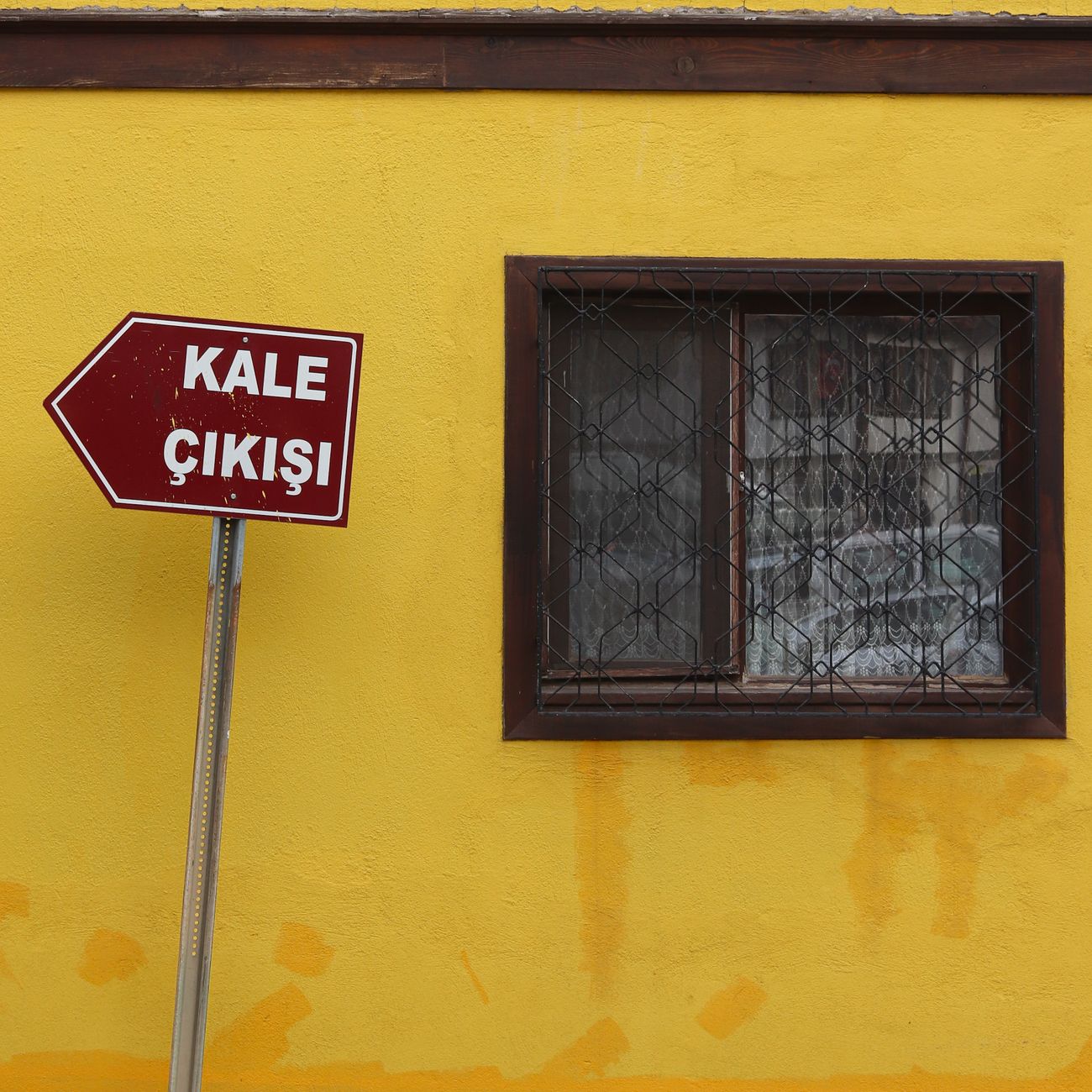
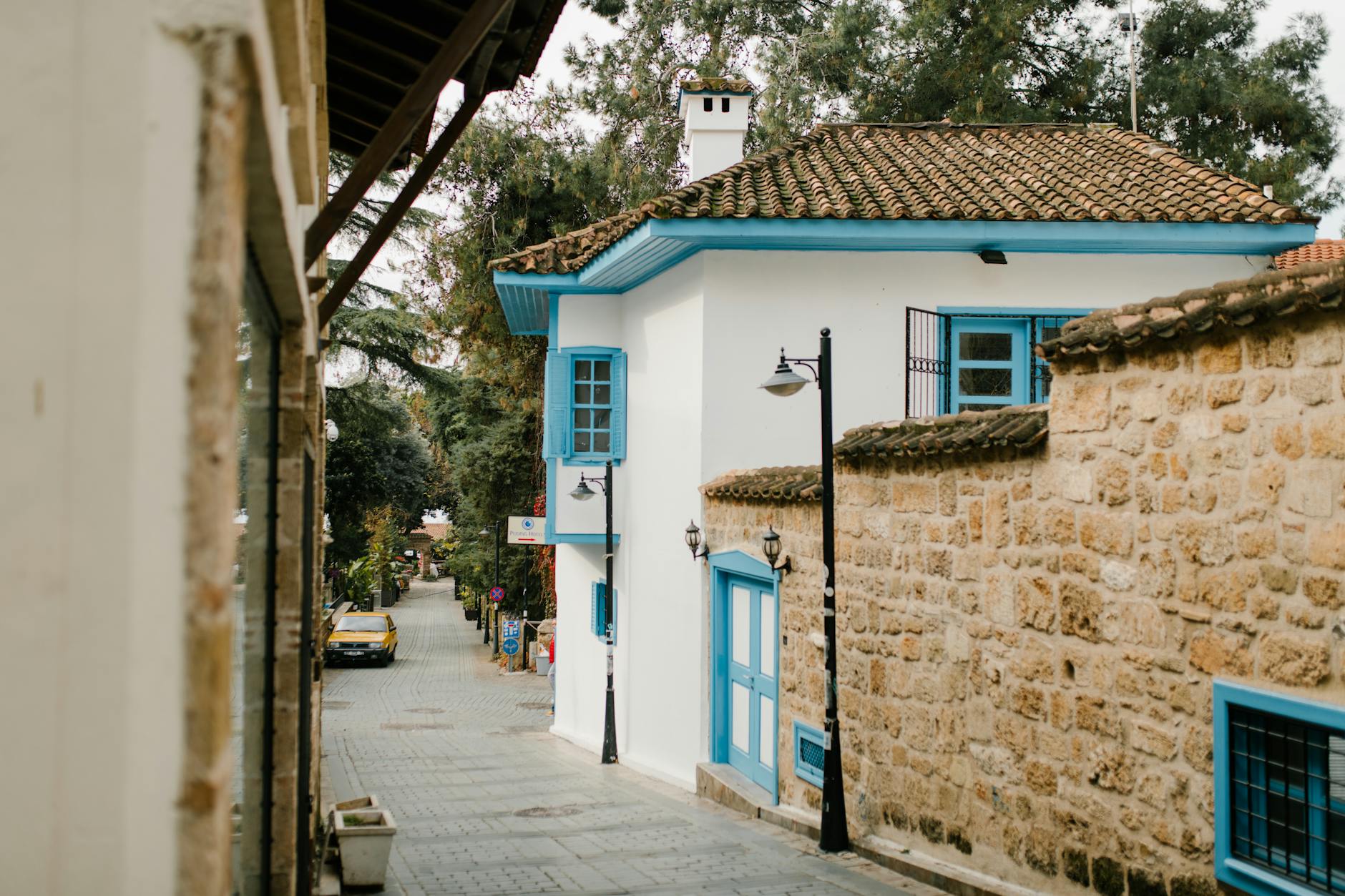
Nallıhan Historical Places
Nallıhan Historical Houses Pictures
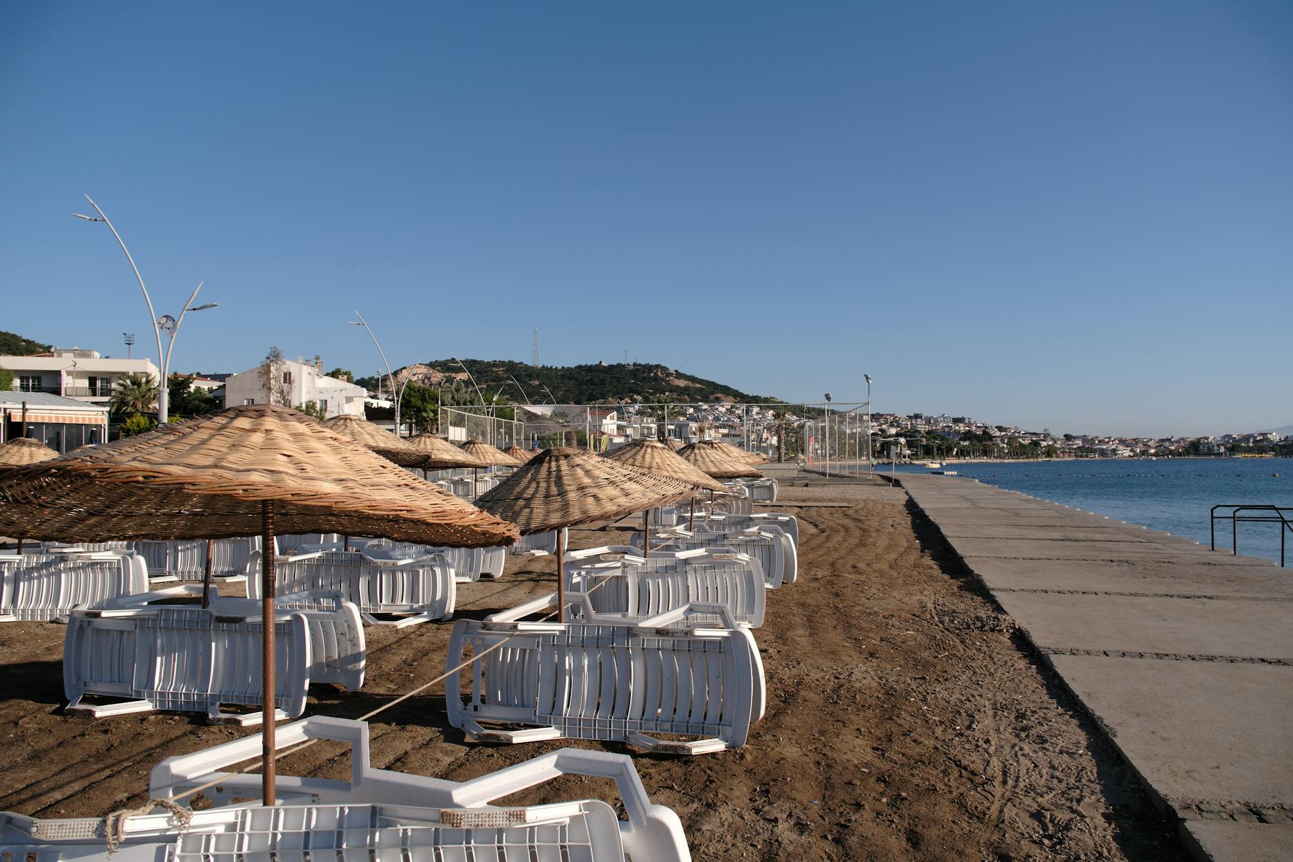
Nallıhan Bird Sanctuary Travel Guide
You May Like

Aspendos Ancient Theater Travel Guide